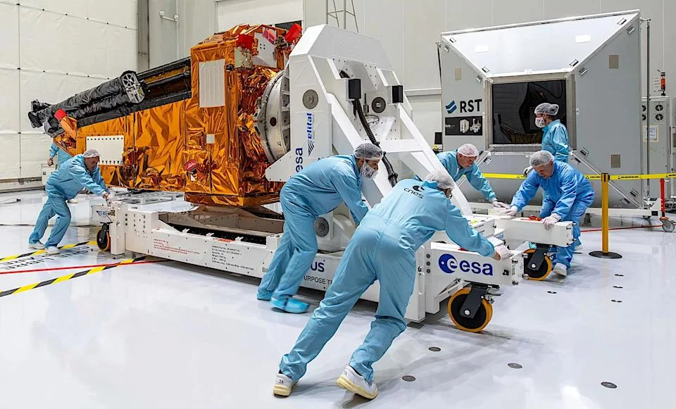
Biomass Satellite: Europe’s Forest-Mapping Marvel Faces US Blackout, Blooms in Space
A groundbreaking European satellite, Biomass, designed to revolutionize our understanding of Earth's forests and their crucial role in carbon capture, has launched with a unique mission and a peculiar challenge. Developed by the European Space Agency (ESA) and Airbus, Biomass uses a specialized radio spectrum to measure the carbon stored in forests, a feat previously unachievable. However, its operation comes with a geographical caveat: it must be temporarily shut down when passing over North America and Europe.
Why the Blackout? The satellite operates on the P-band of the radio spectrum, which is usually restricted for satellite use due to potential interference with reconnaissance satellites. "This was a pity," mission manager Klaus Scipal told MIT Technology Review, acknowledging the desire to observe Europe. Nevertheless, the mission will focus on gathering data from areas where information is scarce, such as the Amazon rainforest.

A Flower in Space: Antenna Deployment a Success The mission achieved a significant milestone with the successful deployment of its massive, 39-foot-wide (12 meters) antenna. The ESA announced on May 7th that the multi-day deployment was a key step, marking the near completion of the launch and early operations phase. "I'm delighted to see Biomass successfully deploy its remarkable antenna — a major milestone for one of our most pioneering Earth Explorer missions," said Simonetta Cheli, director of ESA's Earth Observation Programmes.
The antenna reflector "essentially unfolds like an umbrella above the satellite," according to ESA's Stefan Kiryenko. Now in the commissioning phase, the team will fine-tune the satellite's systems over the next six months.
How Biomass Works At the heart of Biomass is a P-band synthetic aperture radar (SAR) instrument. This innovative radar, the first of its kind in space, can penetrate dense vegetation, providing unprecedented insights into forest structures. The antenna sends the radar's signal to Earth and then receives a return signal containing data on the carbon content of forests. This data will allow scientists to understand how human activities affect trees' carbon storage, aiding policymakers in making informed decisions.
The data from Biomass is poised to be a “game-changer,” according to project manager Michael Fehringer, advancing our ability to quantify forest carbon stocks. This comes at a critical time. As the U.S. National Oceanic and Atmospheric Administration notes, the rate of increase in atmospheric carbon dioxide is approximately 100 times faster than previous natural increases. The satellite data provides crucial information needed to slow planetary warming.

Down Under Support: Calibration Transponder in Australia To ensure the accuracy of its measurements, Biomass is supported by a custom-built transponder antenna located in New Norcia, Australia. This allows to calibrate its instrument . Resembling a football from the outside, in the words of Peter Droll, from ESA Ground Station Systems Division. During its commissioning and check-up periods, the transponder transmits and receives radar signals, guaranteeing accurate calibration.
Biomass mission uses space technology to understand Earth’s carbon cycle and address climate change. The satellite faces and overcomes technical hurdles while gathering important data on forests. What other technologies could be deployed to enhance Earth observation and monitoring? Share your thoughts in the comments below!