Global Wildfire Detection Gets a High-Tech Boost: FireSats & AI to the Rescue
The battle against devastating wildfires is about to get a major technological upgrade. A new satellite, the first of 49 "FireSats", is now in orbit, specifically designed to detect new wildfires across the globe with unprecedented speed and accuracy. This initiative promises to revolutionize how we understand and respond to these increasingly frequent and intense natural disasters.

The Earth Fire Alliance, a non-profit founded just over a year ago, is spearheading the FireSat project, with the satellites being developed and operated by Muon Space, a Bay Area space technology company. Executive Director Brian Collins emphasizes the critical need to understand fire movement for effective firefighting: "One of the most critical gaps that we have is understanding how fire moves on the landscape."
FireSats boast the unique ability to detect low-intensity fires, about the size of a classroom, and provide updates every 20 minutes. This is a significant improvement over existing weather satellites, which can only track fires once they become large and intense. "We also designed the system to be able to look through smoke, to do it day and night and to pick up those small fires at a repeat level," Collins explains. The data will then be shared with agencies like Cal Fire.
But the innovation doesn't stop there. Artificial intelligence (AI) will play a crucial role, sifting through the vast amounts of data collected to uncover new patterns and improve wildfire models. Collins notes, "We will learn things from this data that we did not even expect to learn. And the large amount of data we collect will also allow us the opportunity to use machine learning to learn things that we may not know about wildland fire."
The Earth Fire Alliance is partnering with tech giants like Google and the Gordon and Betty Moore Foundation, highlighting the importance and urgency of this endeavor.
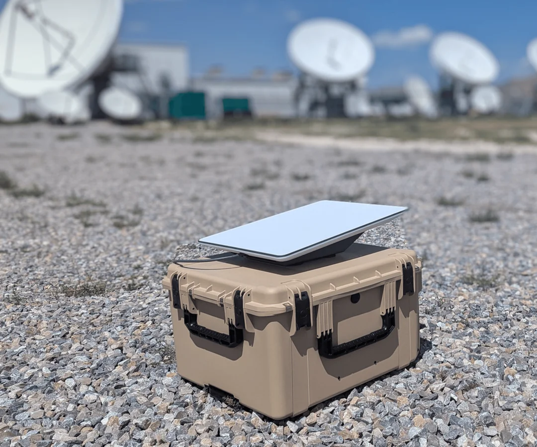
Adding another layer of innovation, RoGO Communications and LBiSat have formed a strategic alliance to enhance situational awareness for wildland firefighters. They're integrating RoGO's DropBlock GPS tracking devices, which provide real-time location data and hyperlocal weather conditions, with LBiSat's satellite-based communications platform. This ensures connectivity even in remote areas where cell service is unreliable.
Rodger M. Lyman, CEO of LBiSat, highlights the limitations of traditional cellular networks during emergencies, stating that RoGO’s DropBlock GPS tracking combined with their patent solutions will create a powerful, resilient communications framework to enhance tactical coordination and save lives.

The upgraded DropBlock 2.0 is smaller and lighter, designed for firefighters navigating challenging terrain. It collects weather data and shares it via satellite. Rod Goossen, CEO of RoGO, emphasizes the goal of providing "a common operational view for leadership and every crew member on the line."
This integration of high-speed satellite connectivity with RoGO's DropBlock devices represents a leap forward, enabling real-time tracking and management of resources and environmental variables. LBiSat brings over 35 years of experience to the table, offering high-speed voice, data and video via satellite.
With these advancements, how will this combined technology impact the safety and effectiveness of wildfire suppression efforts? Share your thoughts in the comments below.