NASA’s SWOT Satellite Captures ‘River Tsunamis’: A New Era in Flood Monitoring
Giant ocean waves are terrifying, but did you know rivers can also generate massive flood waves, sometimes called "river tsunamis"? Thanks to NASA and the French space agency CNES's innovative SWOT (Surface Water and Ocean Topography) satellite, scientists are getting a clearer picture of these phenomena and their potential impact.
A recent study published in Geophysical Research Letters details how researchers used SWOT data to measure the height and speed of significant flood waves in US rivers. This marks a significant step forward in understanding and mitigating flood risks, especially in areas with limited flood control infrastructure.
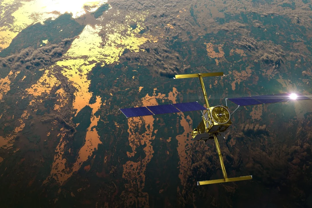
"Ocean waves are well known from surfing and sailing, but rivers are the arteries of the planet. We want to understand their dynamics," said Cedric David, a hydrologist at NASA's Jet Propulsion Laboratory. The SWOT satellite, launched in 2022, uses its unique Ka-band Radar Interferometer (KaRIn) to map the elevation and width of water bodies, providing unprecedented data on river dynamics.
Lead author Hana Thurman of Virginia Tech identified three compelling examples of river waves using SWOT data. One notable wave occurred on the Yellowstone River in Montana in April 2023. The satellite observed a 9.1-foot-tall crest surging towards the Missouri River in North Dakota, likely triggered by an ice jam breaking apart upstream.
Another, even larger river wave was spotted on the Colorado River in Texas in January 2024. This surge reached a staggering 30 feet in height and extended for 166 miles, traveling at approximately 3.5 feet per second over 250 miles before reaching Matagorda Bay. A third wave was identified on the Ocmulgee River in Georgia in March 2024, measuring over 20 feet tall and extending more than 100 miles.
These findings are particularly impactful because traditional stream gauges, while valuable, are often sparsely distributed. As George Allen, a hydrologist at Virginia Tech, explained, "Satellite data is complementary because it can help fill in the gaps." The SWOT satellite acts like a “traffic helicopter taking snapshots of the highway," providing a broad view that complements the point-specific data from stream gauges.
The implications of this research are far-reaching. By learning more about the shape and speed of flow waves, scientists can better predict flood risks and protect vulnerable infrastructure. "We’re learning more about the shape and speed of flow waves, and how they change along long stretches of river," Thurman said. "That could help us answer questions like, how fast could a flood get here and is infrastructure at risk?"
The SWOT mission is expected to observe around 55% of major floods at some stage in their life cycle. "If we see something in the data, we can say something," added David, emphasizing SWOT's potential to flag dangerous floods in the making.
This advancement enables us to monitor our rivers in a way never before possible. What are your thoughts on the use of satellite technology for flood monitoring? Share your comments below!