NASA’s SWOT Satellite Unveils Hidden “River Tsunamis” Across US Waterways
Giant waves aren't just for the ocean anymore. A new study reveals that rivers can also generate massive flood waves, dubbed "river tsunamis," that surge hundreds of miles inland. Thanks to NASA's Surface Water and Ocean Topography (SWOT) satellite, scientists are getting a never-before-seen look at these powerful phenomena.
Researchers from Virginia Tech and NASA's Jet Propulsion Laboratory (JPL) have used SWOT data to measure three significant flood waves in U.S. rivers, marking a breakthrough in understanding river dynamics and flood risk.
While ocean waves are driven by tides and wind, river waves are typically triggered by intense rainfall or snowmelt. These surges of water can travel vast distances and play a crucial role in nutrient transport and ecosystem health. However, they can also pose a significant threat to human safety and infrastructure.
"Analyzing flow wave dynamics to answer questions such as, ‘How high could water levels rise during a flow wave?’ and ‘How fast do flow waves travel?’ has important implications for human safety, infrastructure design and management, and fluvial ecology," the researchers wrote in their study, published in Geophysical Research Letters.

The SWOT satellite, a collaboration between NASA and the French space agency CNES, employs a unique radar instrument called Ka-band Radar Interferometer (KaRIn). This technology allows it to measure the height and width of water bodies by bouncing microwave signals off the surface.
Lead author Hana Thurman, a researcher at Virginia Tech, identified three distinct river waves using SWOT data:
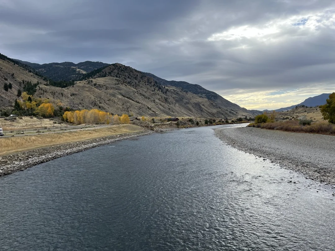
- Yellowstone River (Montana, April 2023): A 9.1-foot-tall wave crest, likely caused by a collapsed ice jam, sped towards the Missouri River.
- Colorado River (Texas, January 2024): A massive 30-foot-tall wave, triggered by heavy rainfall, traveled over 250 miles.
- Ocmulgee River (Georgia, March 2024): A 20-foot-tall wave, also caused by rainfall, moved more than 124 miles.
"We're learning more about the shape and speed of flow waves, and how they change along long stretches of river," Thurman stated. "That could help us answer questions like, how fast could a flood get here and is infrastructure at risk?"
Traditional stream gauges, while valuable, are often sparsely distributed. "Satellite data is complementary because it can help fill in the gaps," explained George Allen, a Virginia Tech hydrologist and co-author of the study. NASA likens stream gauges to “highway toll booths,” while SWOT serves as a “traffic helicopter,” providing a comprehensive aerial view.
This new space-based perspective has the potential to revolutionize flood detection and warning systems. "If we see something in the data, we can say something," concluded Cedric David, a hydrologist at JPL. "For a long time, we've stood on the banks of our rivers, but we've never seen them like we are now."
The SWOT satellite's ability to monitor flood waves from space offers a game-changing perspective on river dynamics and flood risks, paving the way for more effective disaster preparedness and water resource management.
What are your thoughts on incorporating satellite technology into flood warning systems? Share your opinions in the comments below!